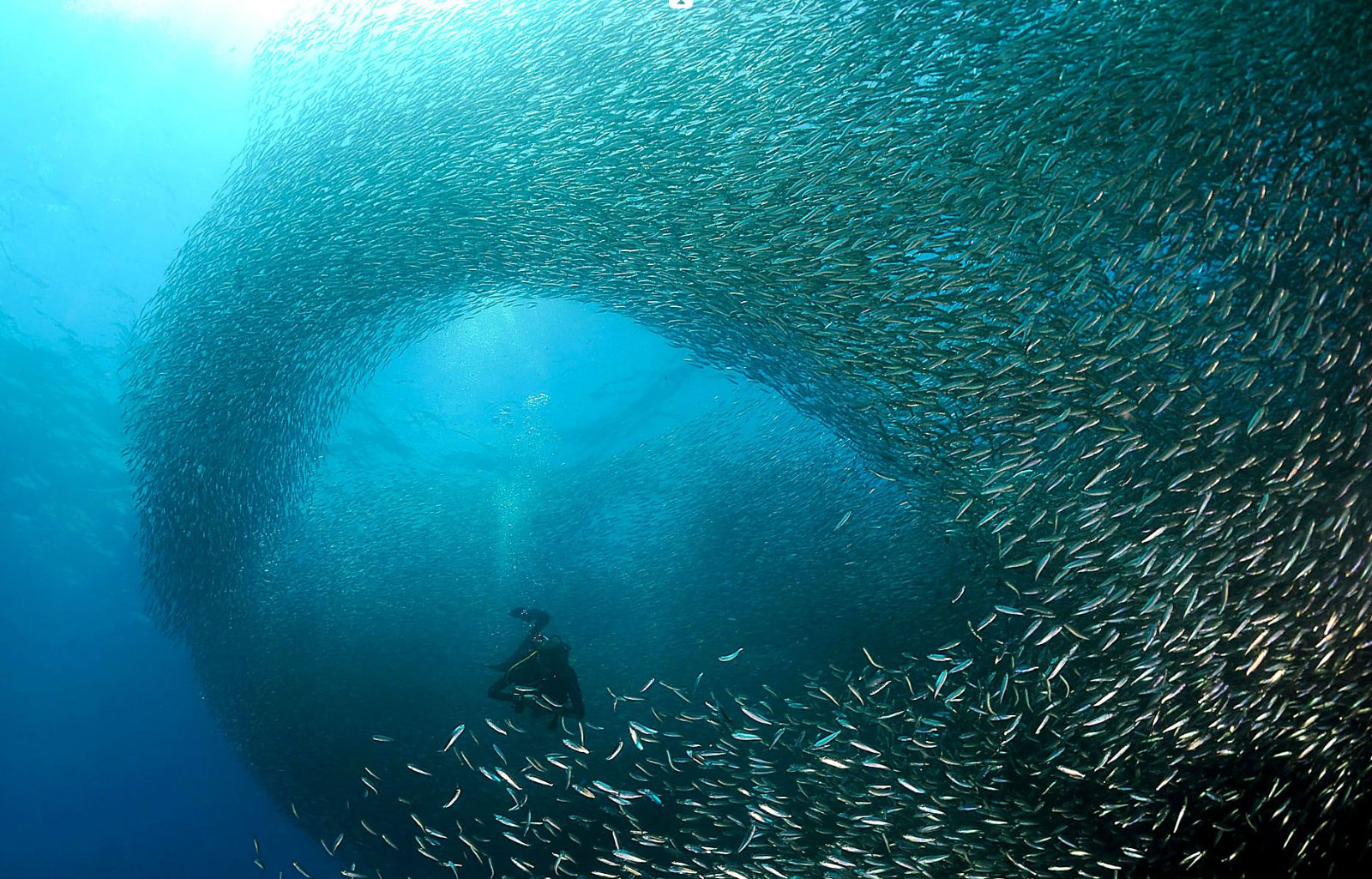
Sardine Run Wall
A massive shoal of sardines occupies the shallow waters just meters from the shore, moving in synchronized patterns along the reef drop-off.
Swim 30 meters offshore to find the densest bait ball activity.

Panagsama Beach and its house reef run roughly 800 meters along Moalboal's western shore, with a dozen named entry points and three major marine zones accessible from shore. This guide maps the sardine run corridor, turtle cleaning stations and reef drop-off sections so you know where to enter and what depth you'll need before you step in.
Quick answer
The moalboal snorkeling map centers on Panagsama Beach, where shore access spans from Dolphin House Resort in the north to Savedra Dive Center in the south. The sardine run corridor sits 20 to 50 meters offshore between Quo Vadis and Pacita's resorts at depths of 5 to 15 meters, while turtle cleaning stations cluster near the drop-off south of Cebu Dive Centre at 8 to 12 meters depth. All sites are reachable by swimming from shore.
The house reef along Panagsama Beach holds the largest resident sardine school in the Philippines, estimated at several million fish, and the entire formation moves as a single coordinated mass between the shallow shelf and the reef wall. The school typically hovers between Quo Vadis Resort and Pacita's Sports Bar during morning hours, then drifts south toward Savedra by mid-afternoon as light and current shift. Snorkelers entering at Quo Vadis or Ocean Safari can reach the core of the ball within a three-minute swim, while those entering farther south near Cebu Dive Centre often intercept the school's trailing edge as it migrates. A moalboal snorkeling map divides the coastline into three functional zones: the northern shallows from Dolphin House to Tribu, where coral gardens sit at 3 to 6 meters and serve as nursery habitat; the central sardine corridor from Ocean Safari to Pacita's, where the reef shelf extends 40 meters before dropping to 30-plus meters; and the southern wall from Cebu Dive Centre to Savedra, where the drop-off begins within 15 meters of shore and turtles feed on sponges and soft corals. Each zone requires a different entry strategy. Northern sites offer sandy, gradual entries ideal for beginners, but the swim to deeper reef structure takes ten minutes. Central entries place you directly above the sardine run but involve navigating resort stairs and concrete platforms. Southern entries demand confident surface swimming over immediate depth, but rewards include close turtle encounters and dramatic wall topography. Panagsama's shore-access model means no boat transfers, no scheduled departure times, and no group crowding, but it also means self-navigation. The sardine run has no fixed GPS pin; the school moves hourly. Locals reference resorts as landmarks rather than street addresses, so a functional moalboal snorkeling site map lists entry points by resort name, visible signage and distance from the main road junction at Qu Vadis. Turtle Point is not a single coordinate but a 200-meter stretch of wall where green turtles congregate at cleaning stations maintained by juvenile angelfish. Pescador Island, visible one kilometer offshore, requires a boat and lies outside the house reef's swim range, but its silhouette serves as a heading reference when orienting from shore. The 25-peso environmental fee applies regardless of entry point and is collected at participating resorts or by roaming municipal collectors on the beach. No printed maps are distributed on-site; orientation relies on resort staff guidance, dive shop briefings, or pre-arrival research.
“The sardine school moves as a single coordinated mass between the shallow shelf and the reef wall, drifting south as light and current shift through the day.”
The best arrival window is 07:00–09:00, which offers optimal light and visibility for the sardine run before peak heat and crowds. Planning your visit within this timeframe ensures the clearest water conditions for navigating your snorkeling map.
—
Arrive between 07:00–09:00 for the calmest water and highest visibility for the sardine run.
Dry season; 25°C–32°C
This period offers consistent sunshine and calm seas, ideal for snorkeling accessibility.
Wet season; 24°C–31°C
Expect occasional rain showers, though snorkeling remains possible between weather systems.
Verdict: For the most consistent experience, plan your visit between December and May, arriving promptly between 07:00 and 09:00 on a weekday.
The snorkeling map of Moalboal centers on the marine life congregating directly off Panagsama Beach. These distinct zones are defined by their unique underwater topography and resident species.
A massive shoal of sardines occupies the shallow waters just meters from the shore, moving in synchronized patterns along the reef drop-off.
Swim 30 meters offshore to find the densest bait ball activity.
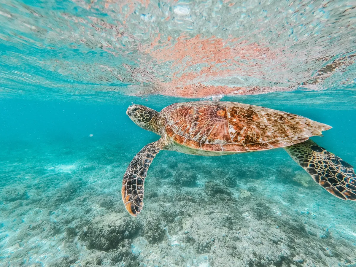
Located in shallower, sandy sections, these beds provide a primary food source for resident green and hawksbill sea turtles.
Scan the seabed during low tide for turtles grazing undisturbed.
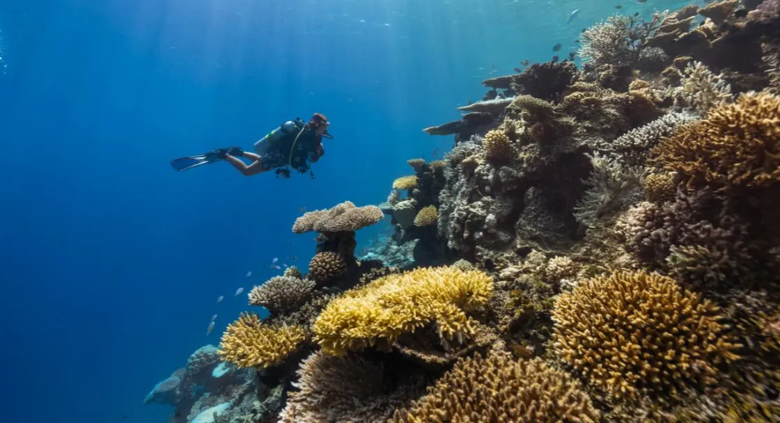
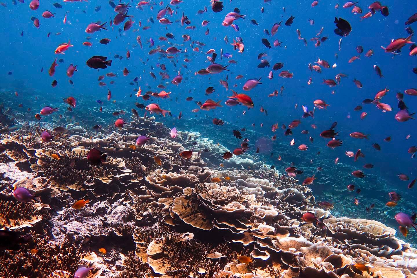
This area marks the transition where the shallow reef floor abruptly descends into deep water, revealing coral formations and diverse reef fish.
Observe the transition zone for schools of jacks and trevally.
A nearby marine sanctuary accessible by boat, characterized by a sloping coral wall and a high concentration of tropical fish species.
Explore the cave systems on the west side for soft corals.
The snorkeling areas accessible via the Moalboal snorkeling map remain open to the public throughout the entire week. Visitors may access the water at any time.
The snorkeling sites in Moalboal are centered around Panagsama Beach in Basdiot. Most travelers arrive via the main road connecting Cebu City to Moalboal before heading west to the coastal area.
Cebu South Bus Terminal to Moalboal via Cebu South Road
Direct route from Mactan-Cebu International Airport via Natalio B. Bacalso Avenue
From Moalboal town center to Panagsama Beach
Plan your arrival for the 07:00–09:00 window to secure shore access at Panagsama Beach when light and water visibility are optimal for snorkeling.
Everything you need to know about moalboal snorkeling map
You can find a physical moalboal snorkeling map at most local dive shops or dive resorts located along Panagsama Beach. These resources help identify where the steep drop-off begins and where the sardine shoals are most frequently encountered.
While a guide is not strictly required, many visitors prefer a Moalboal sardine run tour to ensure they reach the optimal viewing spots efficiently. Local guides are familiar with current conditions and can provide safety oversight for less experienced swimmers.
The Environmental User Fee (EUF) for visitors is 25 PHP, which is collected by the local government to support conservation efforts in the area. Please ensure you have the appropriate fee ready when visiting the coastal zone.
Using a detailed moalboal snorkeling map allows you to locate the shallow reef flat before it descends into the deeper waters of the Tañon Strait. It is important to stay within designated zones to protect the delicate marine ecosystem and avoid boat traffic.
Yes, the famous sardine shoals are often located just a short swim from the shore, making them a central feature of any Moalboal coral tour. Viewing these large schools of fish provides a highlight for many visitors exploring the underwater topography.
Panagsama Beach is generally accessible for family snorkeling, though you should consult a moalboal snorkeling map to identify the best entry points away from boat lanes. Always monitor children closely, as the sea floor drops off quite rapidly into deeper water.